

CGIT Creates Visualization Models for Appalachian Trail Conservancy
A team of Virginia Tech researchers has transformed Torgersen Hall on campus into the Appalachian Trail.
Using augmented reality, GIS data and 3D printing, people who manage the internationally known footpath can utilize technology to improve its management, researchers and stakeholders said during a workshop meeting at Tech this week. The researchers and trail managers are especially interested in protecting its majestic views.
Earlier this week, the Tech researchers from the Center for Geospatial Information Technology showed off their tools to a group of people from the Appalachian Trail Conservancy and the National Park Service.
The goal, according to Peter Sforza, director of the Tech center, is to improve the science and practice of protecting trail resources, for the long-term health of the footpath and to help tourism.
“We can bring traditional techniques with humans and paper and do the technology and data driven study alongside them” Sforza said.
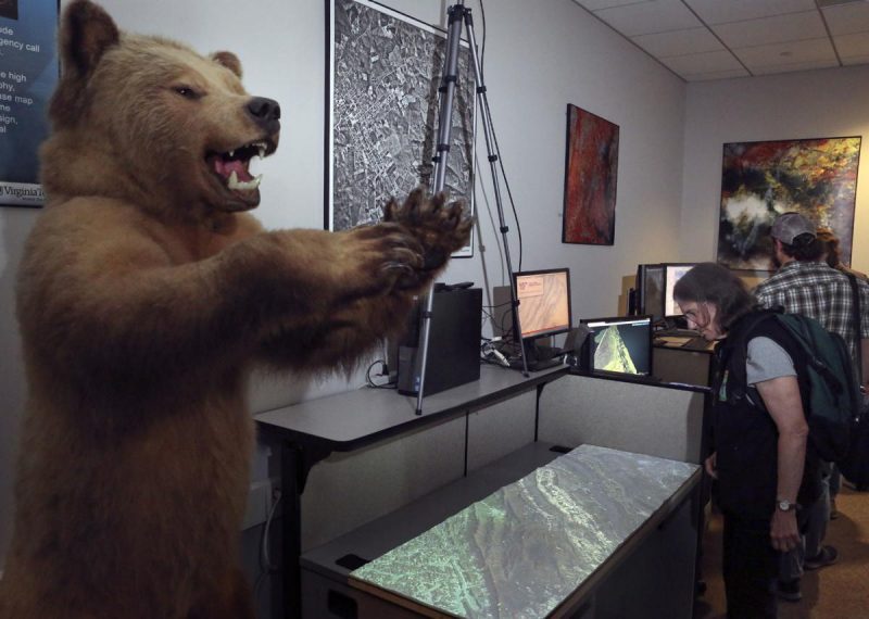
With a team of researchers, Tech showed off a viewshed simulation inside its Viscube, using digital models of the trail and surrounding landmarks created with LIDAR data and 3D prints that can be utilized for public outreach and geographic relief.
How people interpret trail views is important to its maintenance, said Jim Von Haden, Appalachian National Scenic Trail’s Integrated Resources program manager.
About 90 percent of people who use areas managed by the National Park Service, which oversees the National Scenic Trail, come for the views, he said.
“We recognize that the scenery of the trail is among, if not the, most important resource values of the trail,” Von Haden said.
CGIT Lab Displaying 3D print of Appalachian Trail with Projection Overlay
