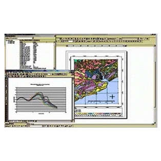
Earthquake Prediction and GIS Mapping for Charleston, SC and Two Neighboring Counties

CGIT staff and students worked with geotechnical engineers at the Virginia Tech Earthquake Engineering Center for the Southeastern United States to develop a GIS based system for mapping and predicting ground motion and site response characteristics using an extensive geotechnical data set along with the latest ground motion prediction models for eastern North American earthquakes.
The research focused on a 1650 square kilometers area which includes portions of Charleston, Dorchester and Berkeley counties. The predictions were made using six different scenario earthquakes. The results of the dynamic analysis were examined for correlation and dependence on mapped geology and shallow geologic structure.


