

Virginia Department of Motor Vehicles Crash Geolocation
Research Status: Funded
Date Began: 06/2011
Date Ended: Continuous
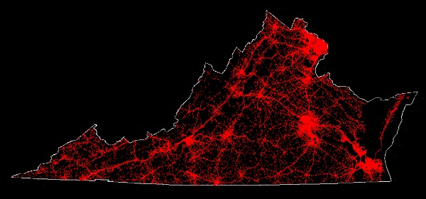
CGIT is creating a spatial database of geolocated crashes for the Virginia Department of Motor Vehicles and highway safety professionals to improve safety through education and enforcement. Project staff interpret and analyze police reports, crash diagrams, and satellite imagery to identify the most probable location of an accident at the point of impact. Tools developed specifically for this project are then used to process the located point and assign the necessary attributes for the DMV. Resulting data is used in analysis of crash trends and informs road improvement decisions.
See our Previous Projects
